Downtown Neighborhoods T.O.D. Zoning - Lancaster, California
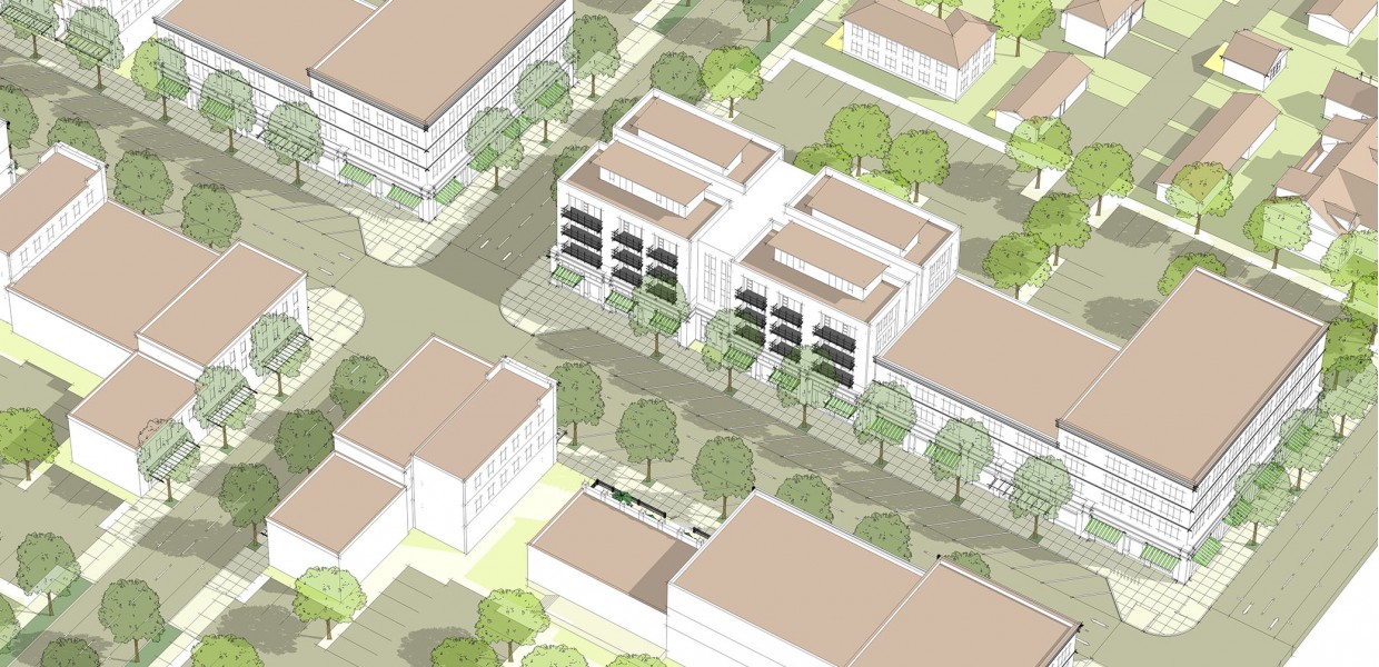
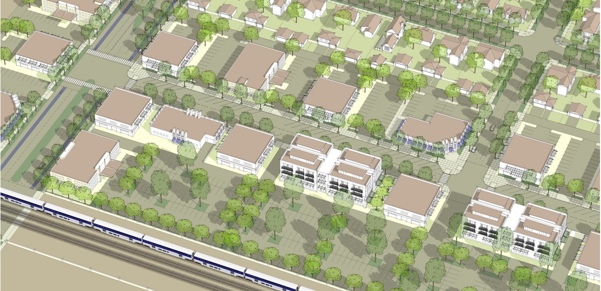
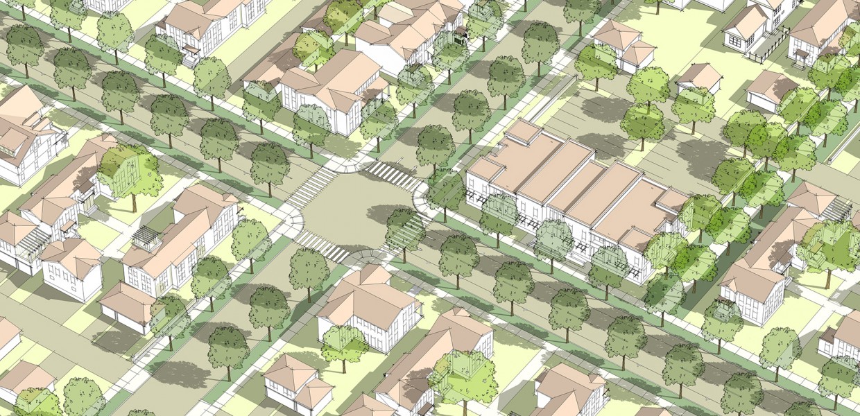
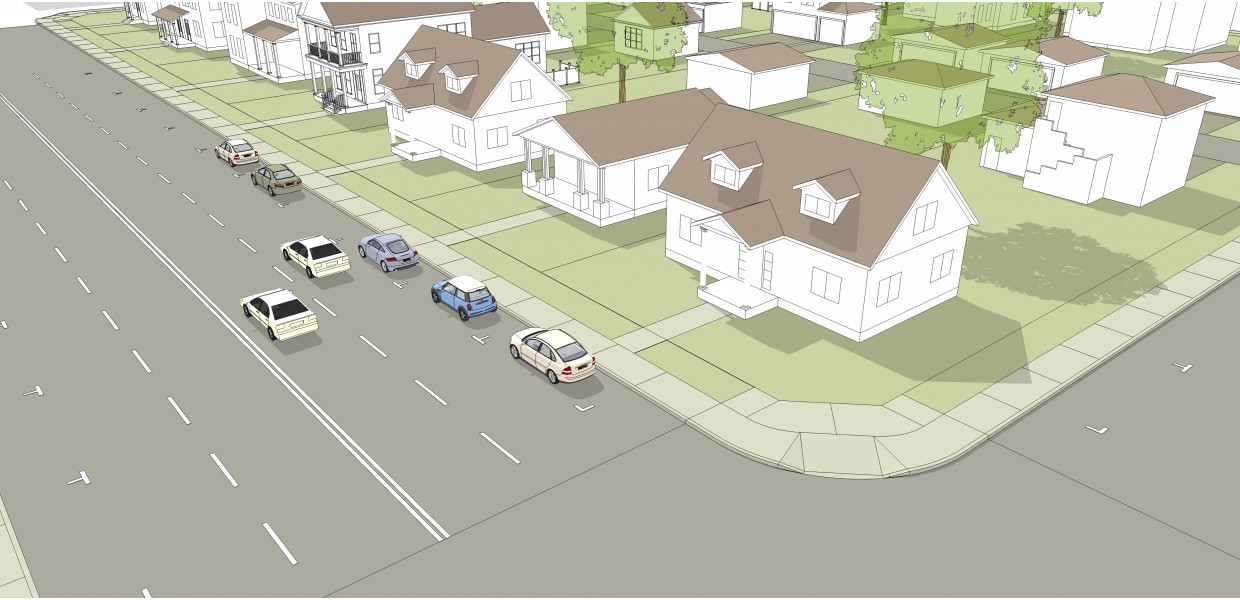
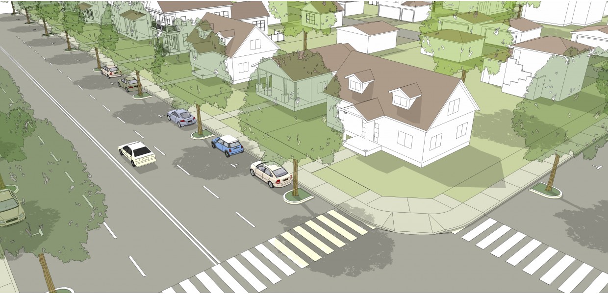
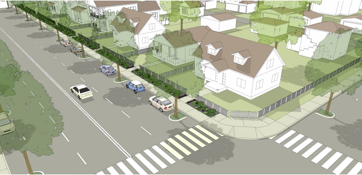
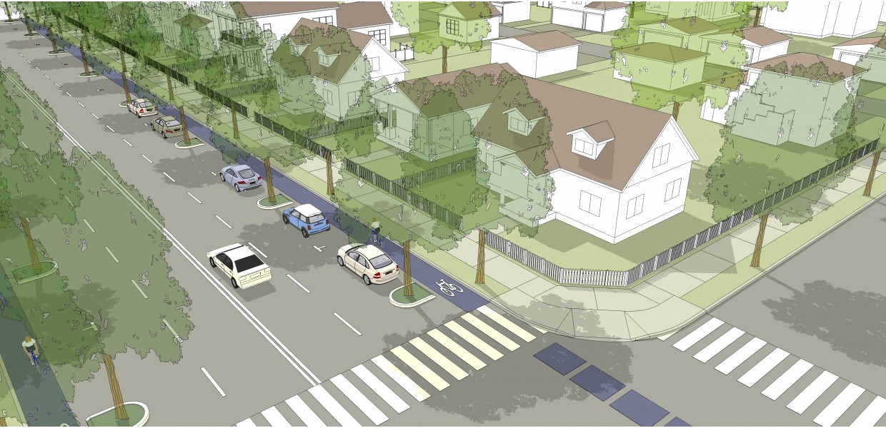
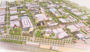
With a funding grant from the Los Angeles County Metropolitan Transportation Authority (Metro), the City of Lancaster selected Sargent Town Planning to prepare new vision-based zones for the neighborhoods surrounding its rebounding downtown district. This work builds upon and refines earlier zoning code updates by City staff, a Downtown Specific Plan for the Lancaster Boulevard Corridor by others, and a vision plans for the Metrolink Station area adjacent corridors by Sargent Town Planning.
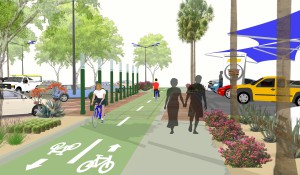
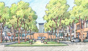
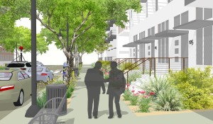
Through a process of public workshops and Community Advisory Committee (CAC)meetings, the team has carefully analyzed, diagrammed and illustrated the existing conditions within each of several neighborhood, district and corridor sub-areas, and presented a systematic range of alternative future conditions for each “place type”. Based on discussions with the CAC, the vision for each sub-area was confirmed, along with the intended streetscape character and range of development types, intensities and use mixes that will characterize each place type.
Based on the decisions reached through this interactive process STP produced new form-based development standards and design guidelines that were adopted by the City Council in January 2015. Nelson Nygaard assisted with street design and parking standards and Metropolitan Research + Economics provided economic feasiblity advisement for mixed-use typologies.
Project Information
- City of Lancaster
