Claremont Village South Workshop #1

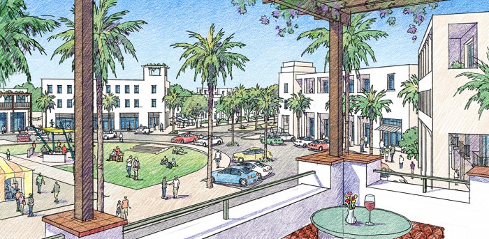
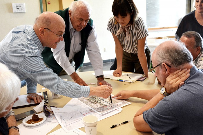
On Saturday, July 15, 2017, the City of Claremont held the first public workshop at the Alexander Hughes Community Center to solicit public input on the Village South Specific Plan.

 The event was attended by over 50 citizens and produced many thoughtful comments and good ideas regarding a plan for the area along Indian Hill Avenue just south of Claremont Village.  The workshop began with an introduction by City staff and David Sargent of Sargent Town Planning, including background on the project, early observations about the project area, and some potential planning and urban design concepts and options.  Attendees were then divided into small working groups to develop and prioritize their ideas for the plan, with results then shared with the entire group.  These ideas will form the basis for a draft vision plan which will be presented in Planning Commission and City Council workshops in the fall, and brought back to a second public workshop toward the end of the year.  
Central Southeast Planning Area

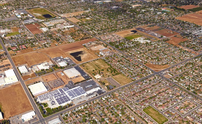
The City of Fresno has selected a consultant team led by Raimi + Associates and Sargent Town Planning to prepare the Central Southeast Area Specific Plan.  The 2,200 acre area has suffered from disinvestment in recent decades and is characterized by a mix of suburban housing developments, industr

ial uses, incomplete public facilities, and large undeveloped parcels.  The plan will provide a vision, policies and standards for more complete, better connected neighborhoods and centers, and market based strategies for reinvestment in infrastructure, private properties, and good quality neighborhood infill development.  The plan area is bounded on the north and west by the Downtown Neighborhoods Community Plan, the consultant team for which included Raimi + Associates and senior staff of Sargent Town Planning.  

Wilshire Boulevard

At their meeting of June 29, the Beverly Hills City Council approved a contract with Sargent Town Planning for the preparation of the Southeast Community Plan.

 The Plan encompasses an area of approximately 700 acres in the southeast quadrant of the City, including approximately 1 1/2 miles of Wilshire and Robertson Boulevards, and almost a mile of Olympic and La Cienega Boulevards and Doheny Drive.  The Plan is focused primarily on these major urban corridors, and how they may better contribute to the local economy and the quality of life of the residents of surrounding neighborhoods.  Working with the community and the Southeast Task Force, the consultant team will develop strategies and designs for rebalancing each corridor from an auto-dominant through route to a more pedestrian-oriented, mixed-use place that better supports commercial and civic amenties while providing improved all-mode mobility for residents and visitors.  The first of Beverly Hills' two new Purple Line Metro subway stations - now beginning construction - is located at the corner of Wilshire and La Cienega, and the Plan will include "first/last mile" improvements to leverage the value of this major regional infrastructure investment for the residents of Beverly Hills.

The City of Indio selected a team led by Raimi + Associates and Sargent Town Planning to update their general plan.

 A top priority for the update will be defining a comprehensive vision for evolving old Highway 111, a defunct retail mall, and vacant and underutlized properties to a city center boulevard with mixed-use centers and walkable neighborhoods, well connected to a revitalized downtown district and civic center just to the north. STP will lead the team's work with the community to reimagine this area, and to better connect it to the newer neighborhoods and retail centers north of the freeway, and to the Coachella Festival grounds to the south.  A unifying circulation and public space framework plan and place-based land use designations for the entire City will be the firm's main deliverables, weaving together the many existing and future development projects into a unified city plan. The R+A/STP team recently completed a similar effort for the City of Palm Desert, just to the west of Indio.

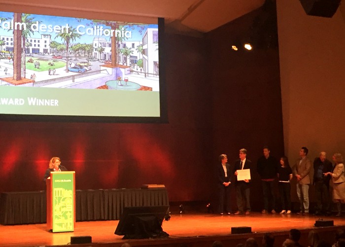
Mary Madden, Driehaus Award Jury Chair, presenting award to STP

At the Charter Awards Ceremony on May 5 - held during the Congress for the New Urbanism's 25th Congress in Seattle, Washington - the Form-Based Codes Institute honored Sargent Town Planning's Palm Desert University Neighborhood Specific Plan with one of two annual Driehaus Awards.

Mary Madden, chair of this year's Driehaus Award jury, and Lisa Wise, Chair of the FBCI Board of Directors, presented the STP team with the award.  Present to accept the award were Ryan Stendell, Palm Desert's Community Development Director; David Sargent, Peter VanderWal and Yuan Liu of STP; and John Baucke of New Urban Realty Advisors. In selecting this code for recognition, the jury noted the code's innovative approach to flexibly regulating the subdivision and street network of the neighborhood, the clarity of the development standards, and the document's organization with design guidelines in a separate volume.  

Indian Hill Corridor Plan Area

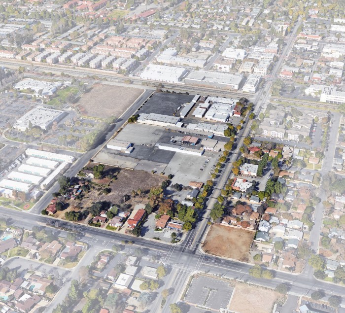
At their meeting on March 28, the Claremont City Council unanimously authorized the City Manager to enter into a contract with Sargent Town Planning (STP) to prepare a specific plan and environmental impact report for a 17-acre area at the south entrance to the historic Claremont Village.

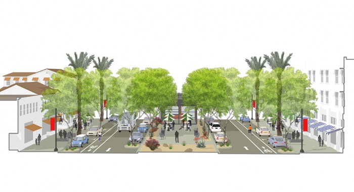
City staff reported that STP's proposal was one of 15 received, and that after interviewing 5 teams the staff unanimously recommended the STP team for the job. The plan is funded primarily by the Los Angeles County Metropolitan Transportation Authority (Metro), under a TOD planning grant for this area within walking distance of Claremont' existing Metrolink station and planned Gold Line Station scheduled to open in 2025.  Key project objectives include enabling a valuable new mix of uses within currently underutilized and vacant properties, extending Claremont's unique village character south of the tracks, defining a beautiful south gateway to the Village from Arrow Highway, and providing new pedestrian and bicycle connections from neighborhoods south of the tracks to the new transit stations, the Village, and the colleges.  The STP team includes our frequent collaborators Raimi + Associates, Nelson\Nygaard, Metroplitan Research + Economics, Crabtree Group, Gibson Transportation, and Meridian Consultants.

Town Green

At their regular meeting on December 8, the Palm Desert City Council unanimously approved the University Neighborhood Specific Plan, and its adoption became final on January 2017.

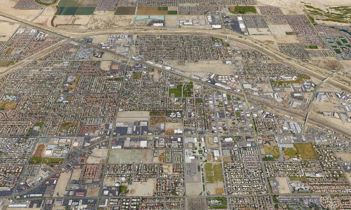
 The Plan area is part of the larger University District, in the northerly part of town adjacent to Interstate 10, adjacent to the growing Palm Desert branch campus of California State University at San Bernardino.  This area is one of two areas  - the other being the 111 Corridor/City Center in the southerly part of town - in which the newly adopted General Plan prioritizes transformational change to a walkable, mixed-use urban environment.  Most of the University Neighborhood area is currently vacant, except for some framework streets that were built to serve conventional suburban housing tracts that were not built due to the recession.  Those properties, along with 170 acre city-owned parcel, were replanned as a walkable, mixed-type traditional neighborhood and center, with a mix of housing types targeted to faculty, staff, students and older residents looking for an amenity-rich living environment.  The City will be issuing a request for proposals to developers in the coming months.

San Pablo Center

At their regular meeting of December 8, the Palm Desert City Council unanimously adopted the new General Plan and 111 Corridor/City Center Plan and Code.

 Beginning in early 2014, a consultant team led by Raimi + Associates with Sargent Town Planning leading the urban design work worked closely with City staff and General Plan Working Group to update their general plan based on the Envision Palm Desert strategic plan prepared the year before.  The new Plan anticipates conserving the existing suburban character and unique desert quality of most of the City, whlle transforming the old Highway 111 Corridor and surrounding City Center area to a more valuable, walkable, mixed-use district, and developing new walkable, mixed-use neighborhoods adjacent to the growing Palm Desert branch campus of Cal State San Bernardino to the north.  STP led the planning work for the 111 Corridor/City Center chapter of the General Plan and prepared new form-based zoning for that area.  The City has retained the firm to develop the final design for the San Pablo Corridor and expects to be underway with Phase 1 streetscape improvements within a year.