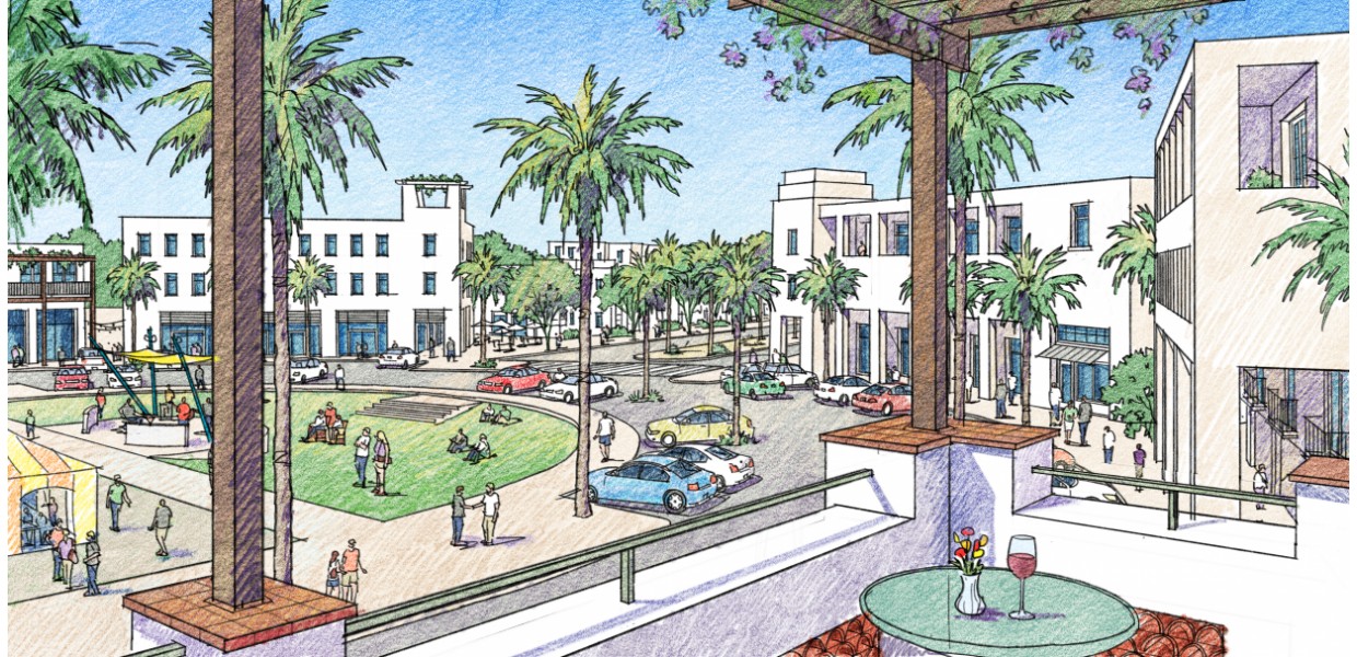
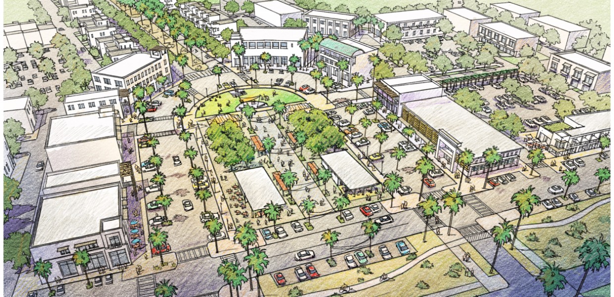
Through a strategic planning process in 2013 and a General Plan Update process underway since 2014, the City of Palm Desert has prioritized the development of two significant walkable, mixed-use districts within its otherwise auto-dominant suburban desert resort environment. Those are Highway 111 Corridor/City Center District and the northern University District. Sargent Town Planning is part of the General Plan Update team - led by Raimi + Associates - and was retained to prepare vision plans and implementing codes for both areas.
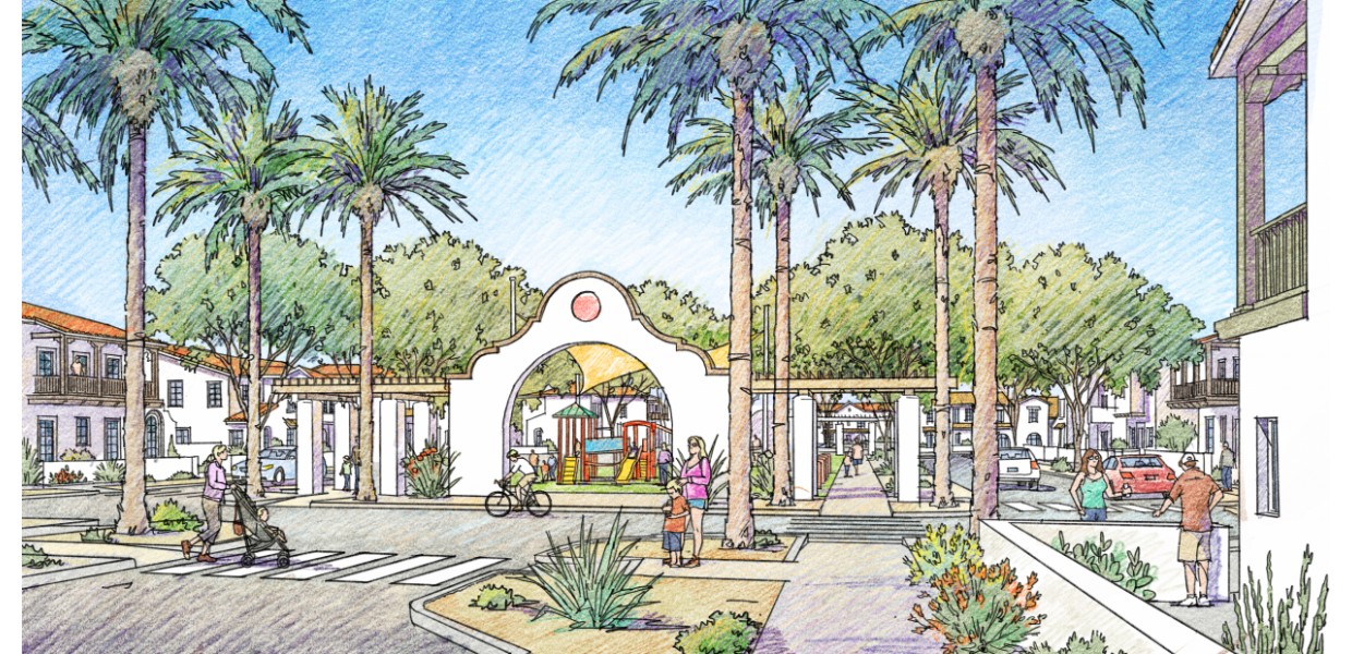
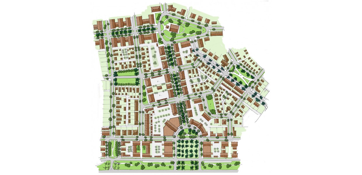
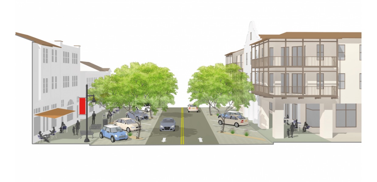
The University Neighborhoods Specific Plan area is located in the northerly portion of Palm Desert, near the I-10 freeway and a planned branch campus for California State University San Bernardino. The General Plan has identified the opportunity to develop sustainable, mixed-use and mixed housing type neighborhoods within walking and biking distance of the new campus and existing and future employment. The University Neighborhoods Specific Plan was initiated to implement that idea, particularly to ensure that a 170-acre City-owned parcel will be developed as a model for such neighborhood development upon its disposition as required by the State Department of Finance.
Early in the planning process STP identified the opportunity to integrate the planning of that property with several hundred acres of previously planned but unbuilt housing tracts to the north - as well as with the future university and research and development district to the east - and prepared a conceptual framework plan illustrating that possiblity. Through meetings with the owners of those properties - the tentative tract maps for which will soon expire - an agreement was reached to replan the entire area with a highly connective network of complete streets and incorporate them into the Specific Plan. The Plan was adopted by unanimous vote of the City Council in December 2016 and received the Driehaus Award from the Form-Based Codes Institute in May 2017.