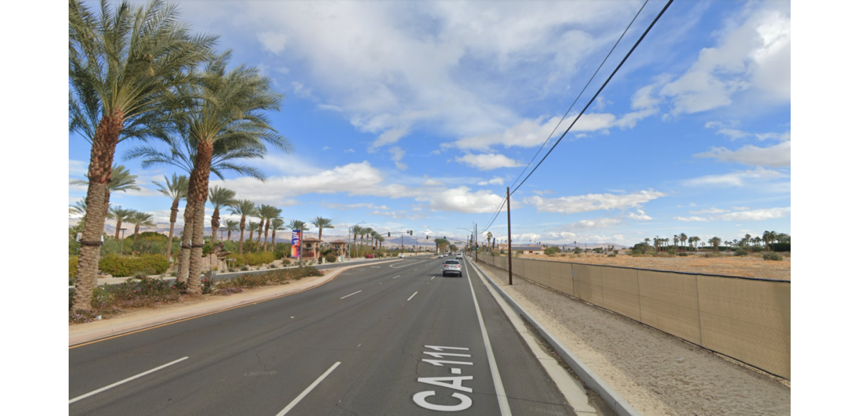
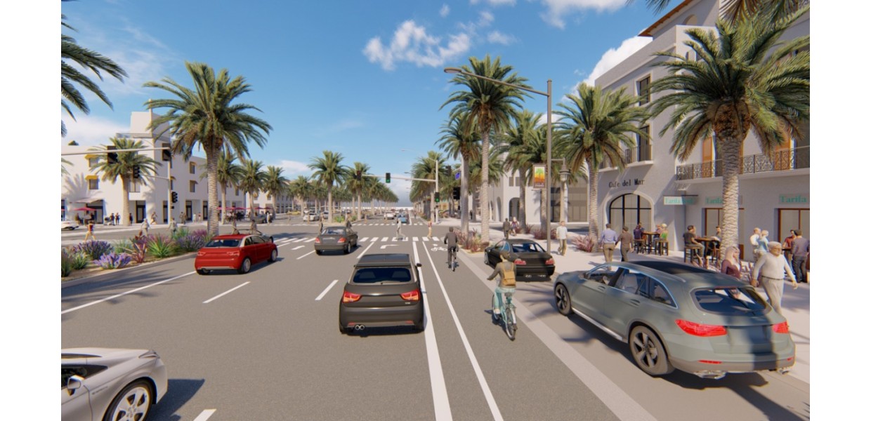
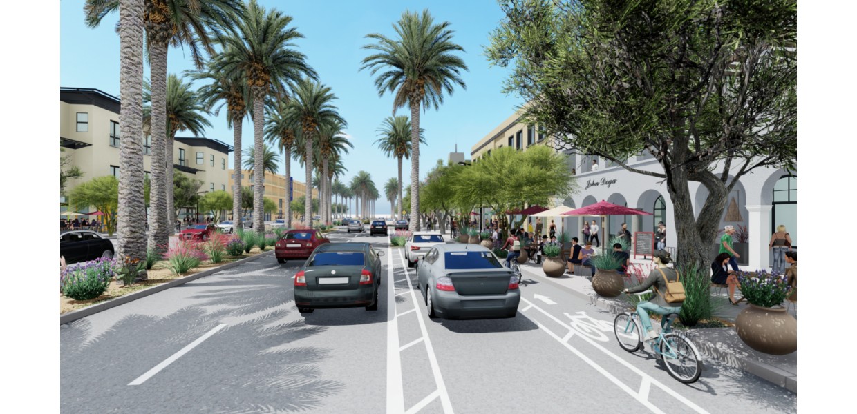
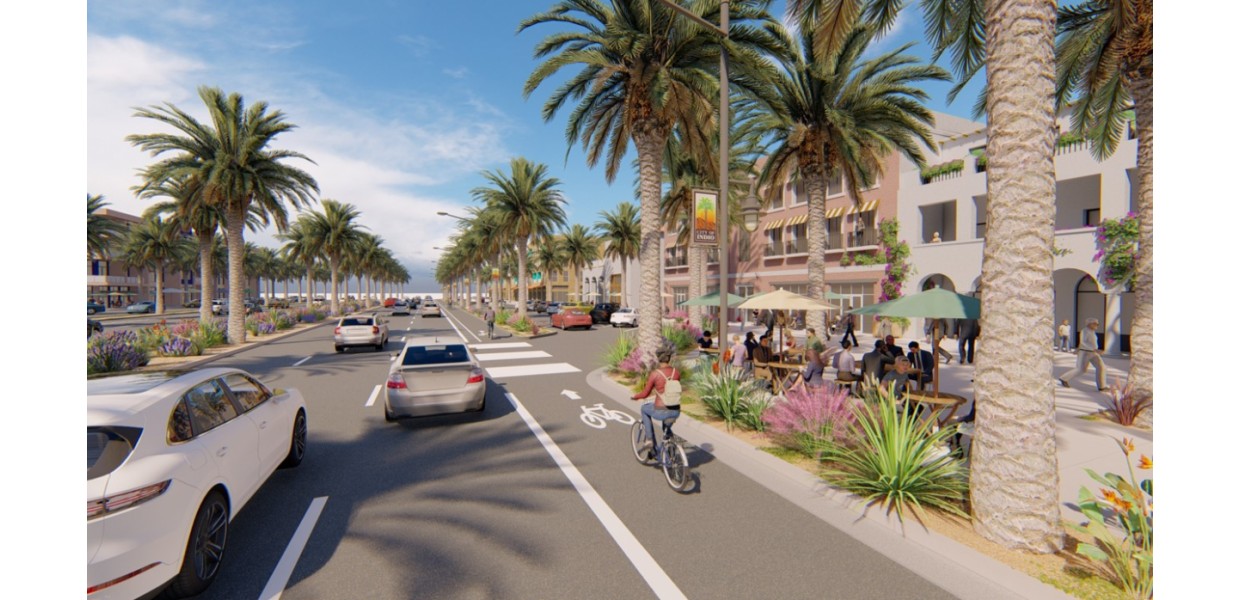
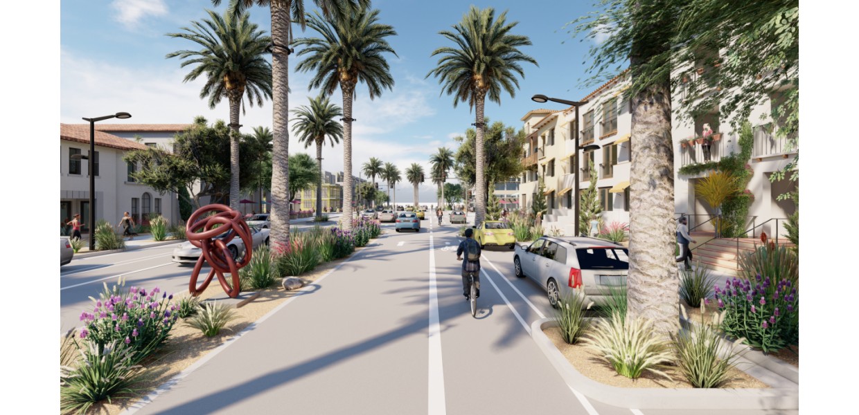
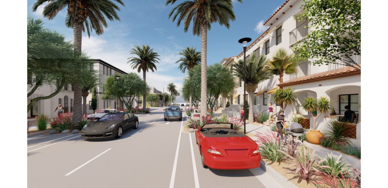
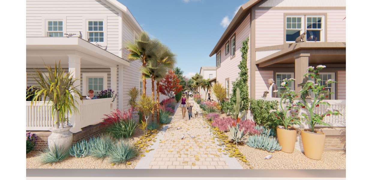
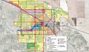
In collaboration with Bay Area Economics (BAE) and others, Sargent Town Planning (STP) led the preparation of a specific plan for the development of mixed-density walkable neighborhoods and mixed-use neighborhood centers along nearly 4 miles of old Highway 111 through the center of Indio. The Plan was funded by a State of California SB-2 grant, intended to spur development of new housing within the numerous under-developed and vacant parcels lining the Corridor, as was envisioned by the recently adopted General Plan update for which STP had led the community vision and urban design work.
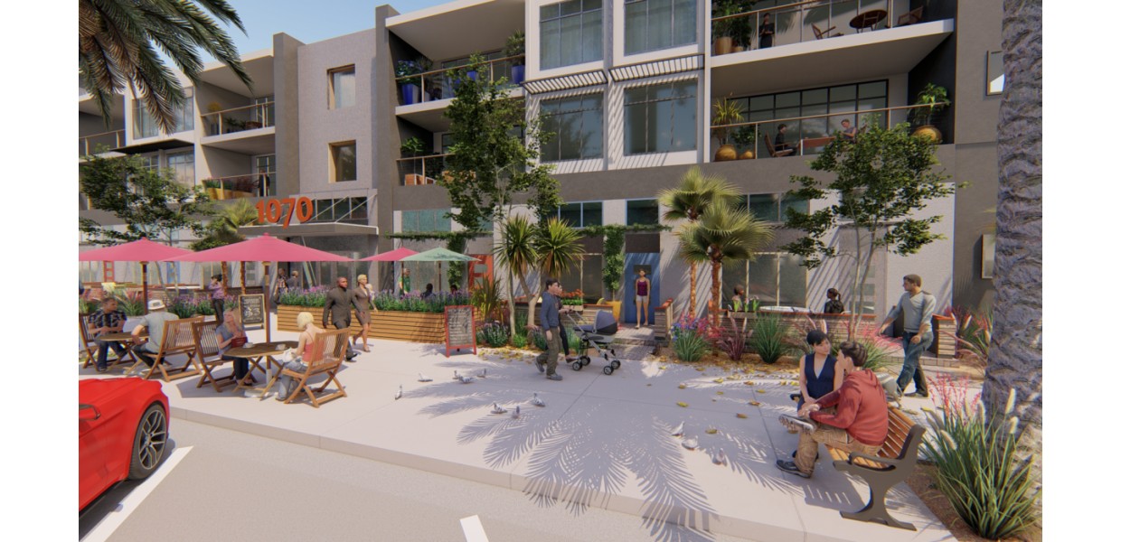
Starting with the conceptual neighborhood design patterns in the General Plan - and on the newly adopted Downtown Specific Plan, also prepared by STP - the team engaged the community and property owners and conducted economic analysis to inform a set of alterntives for the land use mix and development intensities for each segment of the Corridor. Key considerations included concentrating commercial uses within walkable transit-ready centers and ensuring appropriate scale transitions from higher density housing on 111 to existing nearby single-family neighborhoods. Office and other employment uses were prioritized near JFK Hospital and the Riverside County Justice Center adjacent to Downtown, and retail uses within and adjacent to the then-struggling Indio Marketplace shopping mall. Alternatives were discussed and refined and a preferred alterntaive identified through a series of Planning Commission and City Council workshops, and the Plan was adopted in September 2022.