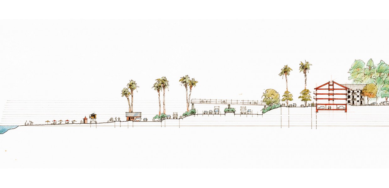
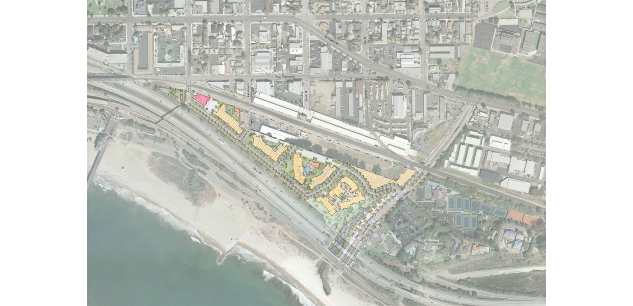
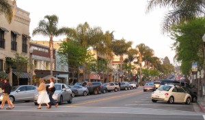
In 1994 the City of Ventura adopted a Downtown Specific Plan to guide the revitalization and restoration of it’s historic core and the adjoining neighborhoods, and in 2004 added a form-based code to the Plan to better shape new development. Sargent Town Planning was a member of the team that prepared that Code. A triangular parcel of land at the southerly edge of the Plan’s “East Neighborhood” is perched on the bluff overlooking the ocean and Highway 101, isolated from the rest of Downtown by the Union Pacific Railroad on the north and steep topography on the east. Because of its usual configuration and access challenges - and because the Coastal Commission had designated it for commercial use, the Specific Plan did not provide detailed development standards for this parcel.
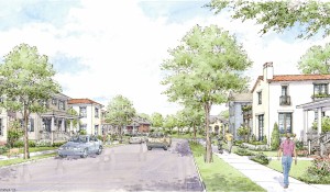
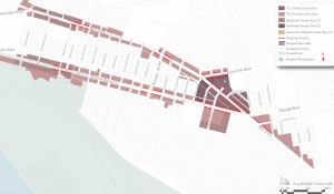
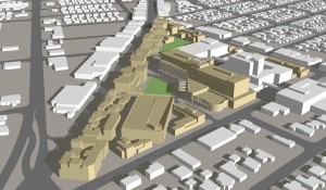
Sargent Town Planning was retained by the City in the role of “town architect” to work with the property owner’s team to devise a framework of streets and blocks - and prepare form-based development standards - for this important edge of the Plan. Through a series of workshops with the applicant and City staff a framework plan was developed, with a public street and pedestrian promenade along the bluff’s edge and a series of view corridors organizing the site into blocks, within which a flexible range of housing and commercial uses is allowed. The illustrations here present a range of possibilities - prepared to inform the Code - and do not represent a “project” proposal.